Skip to Content
Floyd Greenwood
Home
Blog
Open Icon
Close Icon
Home
Blog
White Mountains
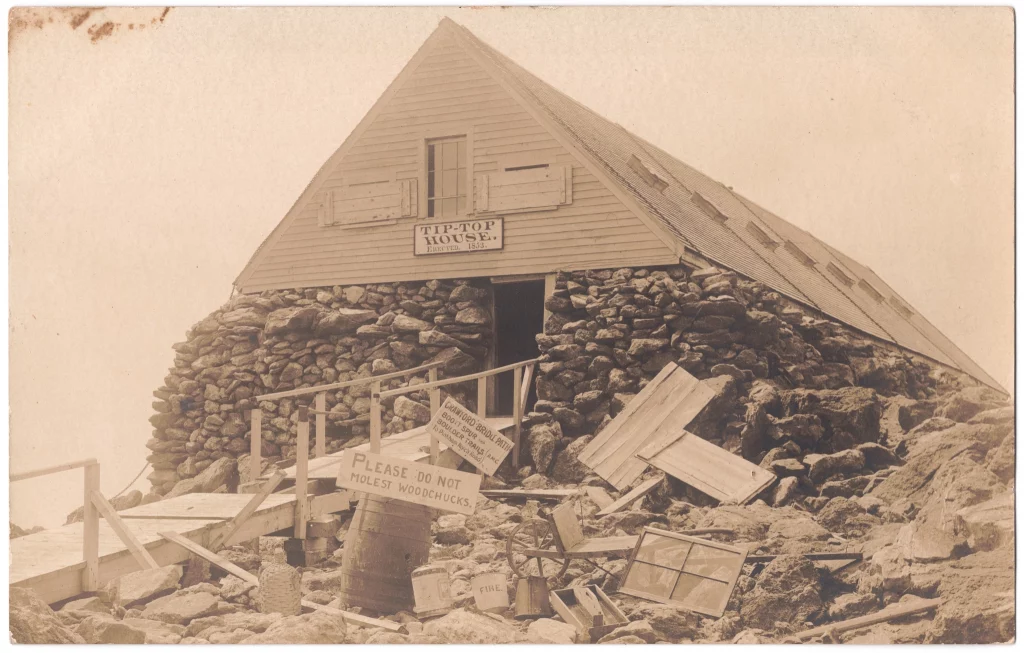
Tip Top House
Tip Top House
White Mountains
September 23, 2025
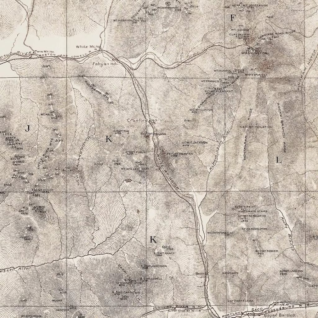
AMC Map 1887
AMC Map 1887
White Mountains
September 16, 2025
M